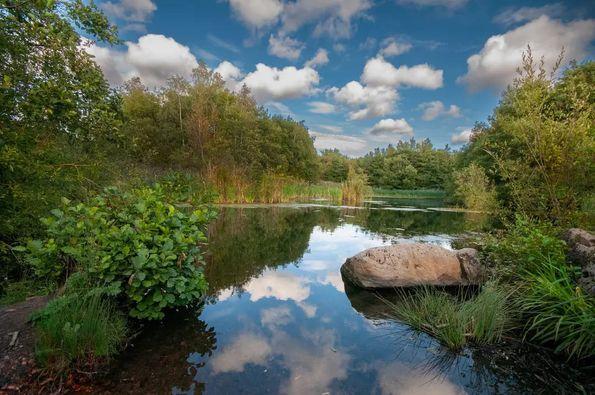
Carbon Trail
The Carbon Trail is a route that has been created accross the entire Carbon Landscape. Linking the wetlands of Wigan and Leigh to the Peatlands of Salford and Chat Moss, the trail leads you through a variety of lanscapes, waterways, conservation area, nature reserves and heritage sites.
The trail has been separated into three manageable sections, that start and end with links to public transport.
Wigan to Leigh:
Length:8.6 miles
Transport: Wigan Train Stations, Leigh Bus Station
Facilites: Wigan Train Stations, Leigh Bus Station
Wigan To Leigh - 15km Walking Route near Wallgate (ID: 2083002) (plotaroute.com)
Starting at Wigan Town Centre, this trail takes you along the Leeds Liverpool Canal highlighting how our industrial past has shaped the landscape. Connecting the two sites created by mining subsidence, the trail takes you past the National Nature Reserves of Wigan Flashes and Pennington Flash, before ending at Leigh Bus Station. There are options to visit Pennington Flash Visitor centre, where you can have some well-earned refreshments.
Leigh to Irlam.
Length: 10.4 miles
Transport: Leigh Bus Station, Irlam Train Station.
Facilities: Leigh Bus Station, Irlam Train Station, Bents Garden Centre
https://www.plotaroute.com/map/2024146
Starting at Leigh Bus Station, this part of the trail takes you along the Bridgewater Canal. Leaving the canal just after the passing under the East Lancashire Road, the trail then takes you on a series of small roads and footpaths towards Bents Garden Centre, where you can stop for refreshements. The trail skirts past Windy Bank Wood, then travels along to Glazebrook. This route will then take you around the edge of Little Woolden Moss, then down New Moss Road before ending at Irlam Train Station.
RHS Bridgewater Extension
Length:1.9 miles
Transport: Leigh Bus Station and Leigh Road Bus Route (A572)
Facilities: The cafe at RHS Bridgewater
https://www.plotaroute.com/route/2027230
Continuing along the Bridgewater Canal from Pennington, you will pass by the meadows of Whitehead Hall and the Lancashire Mining Museum. Here, you have the opportunity to stop for refreshments
Irlam to Warrington.
Length: 12.8 miles
Transport: Warrington Bank Quay,
Facilities:
https://www.plotaroute.com/map/2027164
This part of the route highlights the raised bogs in Warrington. It will take you through Glazebrook, to Pestfurlong Hill, Gorse Covert Mounds and Birchwood Forest Park. The second part of this section shows you the nature hidden in urban places, as it takes you through Birchwood Train Station towards Woolston Park and along the New Cut Heritage Trail, Finally, you will pass along the way as you head into Warrington Bank Quay.


